

how it works
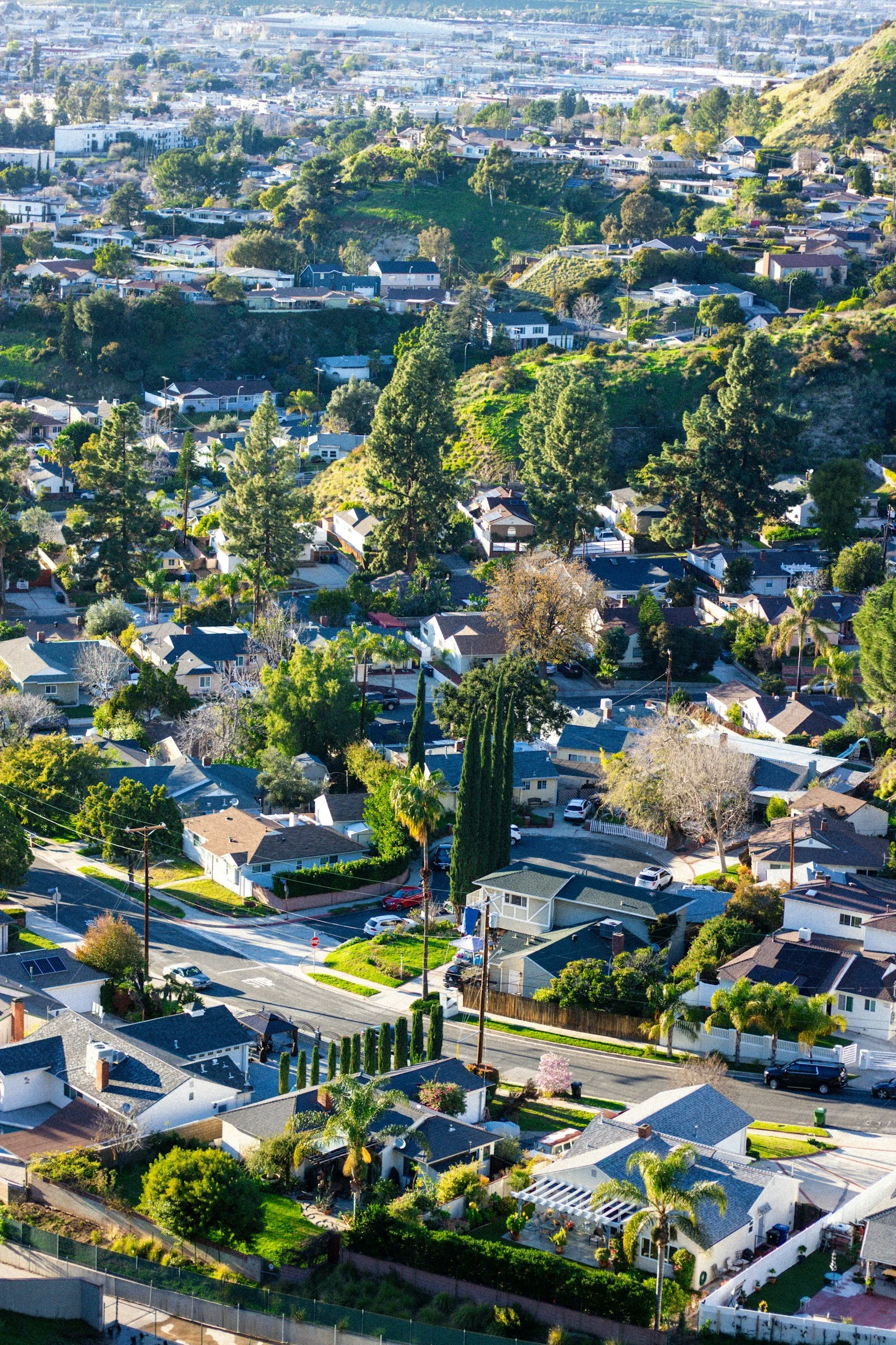
We collect the data.
We regularly drive cities across the US, capturing photos of properties and infrastructure from the public right-of-way with our vehicle-mounted cameras.
Our clients get the images.
With our data package, our clients get access to a photo and list of issues for each home in their city or area of interest. Clients choose the data package that fits their needs - from a one-time sweep to quarterly updates and more.
We provide insights.
We generate a custom report with maps and suggested priority areas, helping clients focus on what matters most to them.
Call to action.
Our clients use our data to evaluate urban progress, request resources for their city or in the case of code enforcement, send notices to homeowners.

data packages
Choose the data package that works for you.
-
You receive a recent dataset one time.
The data includes raw images and a list of insights on each property.
You receive a map with issues highlighted.
Useful for assessing city needs or fast-tracking disaster response.
No subscription required.
-
All the same data as the One Time Needs Assessment, but more frequently.
You receive data twice a year.
Best for measuring improvement over time - i.e., regularly understanding how deployment of resources improves the city.
The report we provide is tailored to be shared with city council.
Usually by subscription.
-
Receive data more frequently, 4x a year.
Best for AI-powered code enforcement, as this provides actionable data in near real-time.
Subscription service.
More frequent packages are also available.

work with
PLACEMETRY
We offer multiple tiers of data packages to fit your needs. Contact us to learn more.